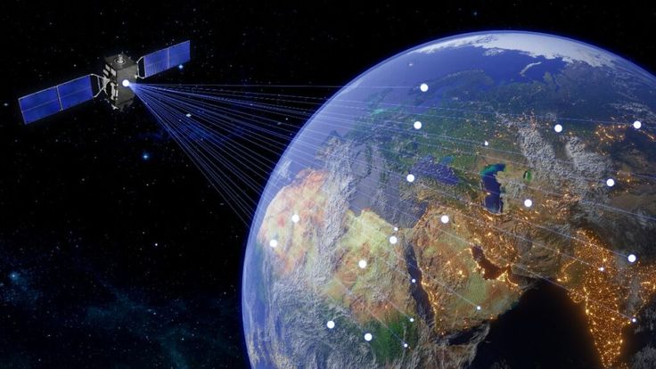
In recent years, applications for viewing satellite images have become indispensable for a variety of activities, from urban planning to environmental monitoring. With the advancement of geolocation technology and the popularization of mobile devices, anyone can access high-quality geospatial data directly from an application. This ease of use has revolutionized the way we connect to the world around us.
Additionally, many of these tools offer more than just map viewing. They provide real-time tracking, detailed terrain analysis, and even satellite navigation. So, in this article, we’ll explore some of the best apps available for those who want to access high-resolution satellite imagery and enjoy advanced features for a variety of purposes.
Advantages of using applications to view satellite images
Satellite image viewing apps offer advantages that go beyond simple navigation. First, many of them use interactive maps to ensure a rich and intuitive experience. In addition, these tools allow real-time satellite monitoring, which is essential for areas such as agriculture, security and logistics.
Another important advantage is the ability to work with 3D map visualization, providing an astonishing level of detail. This technology is widely used in engineering projects, tourism and even to explore remote regions with a high level of precision.
Recommended applications for viewing satellite images
Google Earth
THE Google Earth is undoubtedly one of the best-known tools for accessing high-resolution satellite images. With its user-friendly interface and advanced features, it allows you to explore virtually any location on the planet. One of its most impressive features is its 3D map view, which offers a unique perspective on terrain, cities, and historical monuments.
Additionally, the app provides detailed geospatial data and enables satellite monitoring of specific areas. This is extremely useful for professionals in different fields, such as architecture and the environment. To start using it, simply download the app for free and explore its many features.
ArcGIS Earth
THE ArcGIS Earth is another robust application for those looking for advanced geographic analysis tools. Developed by Esri, it is widely used by professionals who need access to interactive maps and high-precision data. With this application, you can create and view custom map layers, as well as access detailed terrain information.
Additionally, ArcGIS Earth supports 3D map visualization and integrates cutting-edge geolocation technology. This makes it ideal for businesses that need real-time monitoring for more efficient decision-making.
Sentinel Hub
THE Sentinel Hub is perfect for those looking for frequently updated mapping apps. This app provides access to satellite imagery from European Space Agency missions, such as the Sentinel series. It is widely used by researchers and professionals who need detailed imagery to monitor environmental changes.
With features like real-time tracking and high-quality geospatial data, Sentinel Hub stands out as an indispensable tool for those working in environmental analysis and precision agriculture.
Mapbox
THE Mapbox Mapbox is a versatile solution that combines 3D map visualization with advanced customization tools. This application is especially popular among developers because it offers a powerful API for creating custom interactive maps. Additionally, Mapbox is known for its highly accurate satellite navigation, ideal for transportation and logistics projects.
Whether for personal or professional use, Mapbox allows you to explore the world in an innovative way, integrating cutting-edge geolocation technology.
LandsatLook Viewer
THE LandsatLook Viewer is a tool developed by the USGS (United States Geological Survey) that offers free access to high-resolution satellite images. This application is ideal for those who need historical and up-to-date data on changes in the Earth's surface.
One of its main advantages is the ability to work with satellite monitoring and detailed analysis of areas of interest. The LandsatLook Viewer interface is intuitive, allowing even novice users to take advantage of its advanced features.
Additional application features
The apps mentioned above offer functionality that goes beyond simple map viewing. Many of them allow real-time tracking of geographic changes, which is essential for environmental monitoring and urban planning. In addition, most of the apps support integration with geographic analysis tools, making them ideal for professionals working with complex data.
Another notable feature is the ability to access interactive maps that can be customized to the user's needs. This includes everything from creating specific layers to highly accurate satellite navigation.
Conclusion
Satellite imagery applications play a crucial role in many areas, providing access to advanced geospatial data and cutting-edge technologies. Whether for professional or personal use, these tools are transforming the way we interact with the world around us.
With so many options available, it’s essential to choose an application that meets your specific needs. Tools like Google Earth, ArcGIS Earth, and Sentinel Hub offer a wide range of functionality, ensuring that you have access to the best technology available. Explore these options and make the most of the possibilities that satellite imagery viewing applications have to offer.